|
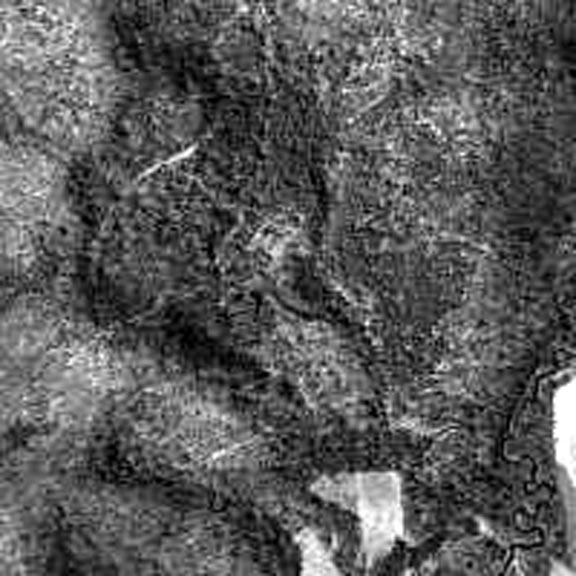
Below is a 1994 satellite photo of the Irish Basin.
The cemetery is the light triangle located in the bottom right-hand corner.
The nearby logging road can be seen crossing the Dodge and leading into the wilderness, viewable in several spots.
|
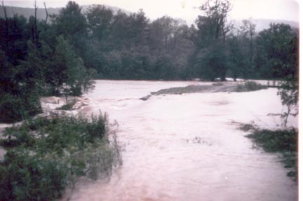
| 1977 |
|
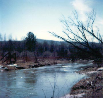
| 1981 |
|
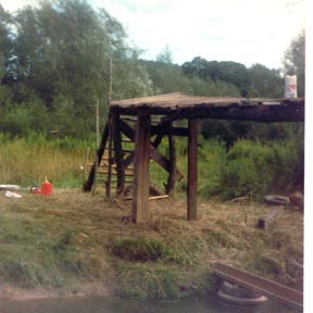
| 1981 |
|